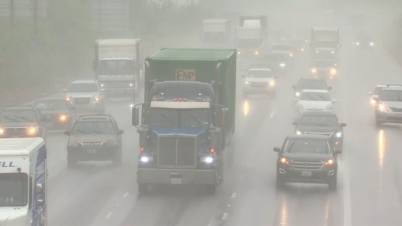
TACOMA, Wash. — An atmospheric river has once again descended upon western Washington. According to the National Weather Service, these moisture phenomena typically happen during the fall, not June!
“It’s been a wet June anyway and so it is unusual to get a storm system like this, this time of year,” said Kirby Cook of the NWS. “We’ll probably see some unusual ponding on roadways and low-lying areas — nuisance sort of things.”
However, rock falls and landslides are still a real risk. Earlier Thursday, a tree tumbled onto Highway 18 near Auburn. Traffic came to a halt until crews could remove the fallen timber.
Department of Natural Resources geologist, Casey Hanell, says anyone living near a slope should keep their eyes out for movement.
“Cracking in the ground, tilting trees, sagging power lines,” said Hanell.
The Cascades and Olympics are predicted to see the most rainfall. Anywhere between one to three inches is expected. Low-lying areas, like Tacoma, could see closer to an inch.
“Generally, I think ... all areas are going to see unusually wet precipitation,” said Hanell. “Whether you’re in Bellingham or Sea-Tac.”
More news from KIRO 7
- Bellevue plans immediate demolition of Main Street Bridge over I-405, creating ‘huge backups’
- 2 rescued from chocolate tank at Mars factory in Pennsylvania
- Large law enforcement response at Olivia Park Elementary in Everett after temporary lockdown
- Do you have an investigative story tip? Send us an email at investigate@kiro7.com
©2022 Cox Media Group


