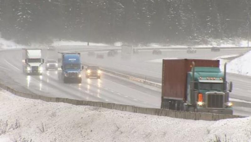
SEATTLE — The heaviest snowfall of the season is on the way for the Cascades -- a long-delayed blanketing in the mountains that could get some ski resorts in gear, finally.
A front will be bringing rain to the low elevations (below the passes) by Wednesday evening and snow levels in the Cascades will start out around 4,000 feet -- or around Stevens Pass -- with a rain/snow mix below that. However, it’s important to remember that the elevation at which snow will be the main precipitation type -- the snow level -- will fluctuate based on time of day and whether the precipitation is light or heavy.
Heavier precipitation will bring the snow level lower in elevation for a time.
By Thursday morning, precipitation continues with plenty of wet weather around the Sound and snow in the Cascades and Olympics above about 3,000 feet -- the elevation of Snoqualmie Pass. The average snow level will slowly fall through the day Thursday, and by Thursday evening, the precipitation should be all snow at Snoqualmie Pass.
So how much? The overall snowfall will vary based on elevation and where the heaviest snow bands set up, but we’re looking at very healthy accumulations with the heaviest in the higher elevations of the North Cascades around Mount Baker, and the least snow around Snoqualmie Pass and I-90.
FORECAST SNOWFALL LATE WED.-FRIDAY:
- Above 4,000 feet around Mount Baker: 2-4 feet
- Above 4,000 feet on Mount Rainier, including Crystal Mountain and White Pass: 18 inches to 3 feet
- Around 4,000 feet including Stevens Pass: 1-2 feet
- Around 3,000 feet including Snoqualmie Pass: 4-10 inches with higher amounts possible
Will this be enough for ski resorts to open? Generally, resorts need a base of two to three feet to open so this will get some of the resorts close to opening or open -- even if on a limited basis. Consult the individual resort website for the latest information on operations.
Will it snow in the lowlands? Not with the precipitation that falls late Wednesday through Friday. Snow levels shouldn’t get below about 2,000 feet even in the heaviest precipitation.
Over the weekend, we’ll be drying out but there remains the chance of a little precipitation around on Sunday and snow levels by then could be around 1,000 feet. However, the amount of moisture available for rain and/or snow is rather limited, so while we could see some snow flying around our foothills on Monday, there should be no accumulation.
Into next week, snow levels remain relatively low, but it appears above the lowlands. As of this writing on Wed. Dec. 11, it is too early for a forecast for Christmas week.
© 2019 Cox Media Group


