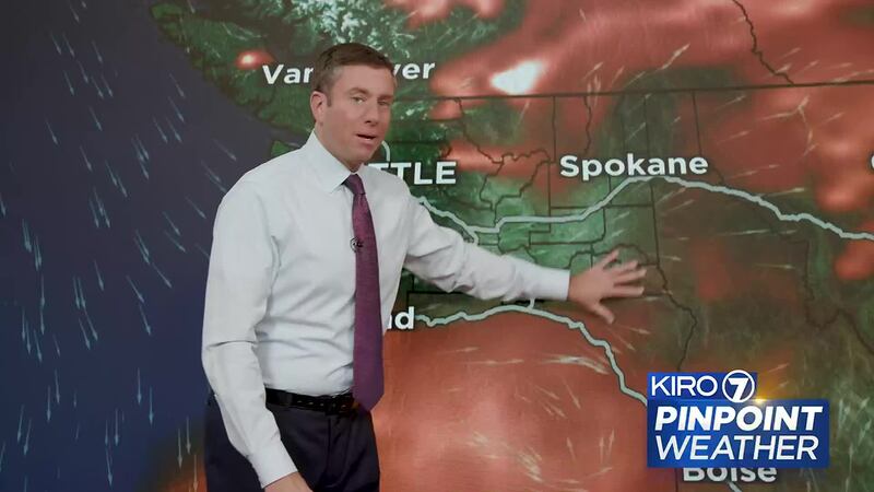
When we’re in smoke season, especially in the summer and early fall, there are two different types of forecasts for smoke that you’ll see on KIRO 7.
The first is a very large scale and long range smoke forecast from the National Oceanic and Atmospheric Administration (NOAA) and the National Weather Service. It makes a lot of assumptions about where fires are burning right now and where that smoke will go down the road. However, if fires are being put out, if fires spread, or if new fires pops up, they won’t necessarily be included in this forecast model.
That means we have to look long range with a little bit of uncertainty in the forecast. But if the winds shift and we have a pretty good handle on which way those winds are going to be blowing, we can often see that shift of smoke into Western Washington in the coming days.
Once we get within a couple days of a potential smoke event, we switch over to what’s called the High-Resolution Rapid Refresh (HRRR) model. It runs every single hour, and it takes into account where fires are burning right now and where that smoke might be going.
We get constant updates because of how frequently it runs, with the added bonus of it being in high resolution. The advantage there is that it can sometimes have a better handle on where surface smoke is going to be spreading when winds shift.
That all being said, it’s important to remember that if or when new fires break out, if a fire suddenly grows, or if fires are suppressed and put out, these forecasts can change.
©2023 Cox Media Group


