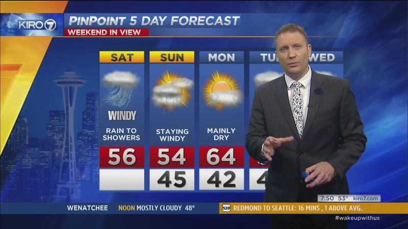
A Saturday storm will be near the Washington coast to start the weekend and make landfall along the Vancouver Island coast by evening. It's a fairly potent low pressure system though it will be weakening as it moves ashore.
- Windy and wet Saturday
- Spotty power outages/tree damage possible
- Download the KIRO 7 Weather App
- PinPoint StormTracker Radar Livestream
REAL-TIME UPDATES WILL BE ADDED BELOW DURING THE STORM
Wind forecast
The Washington coast still looks to have peak gusts of 50-60 mph with 40+ mph winds common. A High Wind Watch is warranted for that area and has been issued for Saturday.
Wind gusts will likely be upwards of 50 mph as parts of the North Sound -- such as Bellingham, San Juans Islands and Whidbey Island, with speeds of 40+ mph common.
The Seattle metro area and the Sound look to have sustained winds of 20-30 mph with peak gusts in the 35-45 mph range. I think most of us will have gusts in the 30-40 mph range, but closer to Everett north it could be closer to 45 mph.
Again, stronger wind will be in the afternoon and early evening hours.
The story will be pretty much on-par with the half-dozen or more windy days through the fall and winter that produced sporadic tree damage and some power outages.
It is April, so we might have a few more tree issues given foliage is coming out and it's been quite a few weeks since the last wind event.
Sunday will be a little unsettled with showers and sun breaks. Rain chances continue into next week.
Cox Media Group


