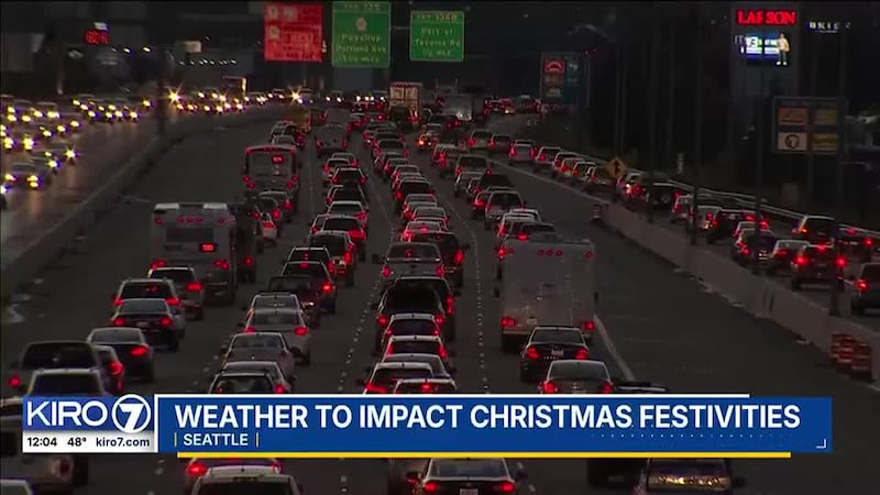
A large, broad area of low pressure will swing several weather systems into the region through the next few days, with the first impacts being at the coast by Christmas morning with increasing rain and some minor wind gusts. This first bout of moisture is an atmospheric river — consisting of a long fetch of moisture to the central Pacific. This will enhance rainfall across the region for Christmas day into Thursday!
WIND: A Wind Advisory has been issued for the daytime hours Wednesday for the north coast and north/west of Everett and adjacent areas like Port Townsend, Bellingham, and the islands. Winds could hit 50-55mph with the strongest gusts in these area. Farther out in time, a High Wind Watch has been issued starting Wednesday evening through Thursday afternoon. Winds could reach their peak in the morning hours of Thursday and exceed 60 mph at the beaches in isolated locations and exceed 55 mph in the strongest gusts across the islands and surrounding areas.
Elsewhere -- including around Puget Sound -- there is even greater uncertainty as to the magnitude of wind early Thursday, but probabilities are now growing of wind gusts in many of our metro locations exceeding 40 mph – particularly Thursday morning into possibly early Thursday afternoon. Winds coming from the south will impact locations near open water greater than inland locations, but any gusts over 40 mph will raise the potential of power outages and tree damage in urban areas. At the coast, high winds are possible early Thursday.
Wind gusts will likely settle down on Thursday afternoon into Thursday evening, but there could be some pockets of impactful wind remaining at times all the way into Friday.
MOUNTAIN SNOW: A Winter Storm Warning is out for the Cascades and Olympics above 3,500 feet for Wednesday afternoon through Thursday. As precipitation spreads over the area on Christmas Day, snow will begin at the mountain passes beginning in the afternoon hours, though it could be a mix of rain, freezing rain, and snow at Snoqualmie Pass for a time before turning to heavy snow Wednesday evening through Thursday afternoon. At the higher elevation locations like Stevens Pass, it should be all snow.
Snow will be very heavy Wednesday evening through Thursday midday before tapering to occasional snow squalls during the afternoon Thursday. It will also be windy in the passes, creating the possibility for whiteout conditions.
Pass travel will become extremely difficult and pass closures are a possibility from late Wednesday afternoon through at least Thursday afternoon.
Snowfall totals could be in the 18-24 inch range with higher amounts for Stevens Pass and higher locations in elevation, including most of our ski resorts. At Snoqualmie Pass, we could see somewhat lower snowfall totals right on I-90, but still enough snow for major impacts.
This is a very high impact snow event for our passes given holiday travel. Pass travelers are urged to complete their journeys by noon Wednesday and not expect conditions to improve until at least late Thursday. All travelers should always carry chains, have vehicles properly winterized, and emergency supplies.
Snow will also impact areas of central and north-central Washington as well, impacting holiday travelers.
RAIN: Rain will plague the Northwest from Wednesday through the weekend. One to three inches of lowland rain will fall with this atmospheric river-type setup, with 4-6 inches of rain falling in the mountains below 4,000 feet later Thursday and Friday. Unlike a fall atmospheric river, colder temperatures in the early winter mean less water flowing into our river systems. There is currently no expectation of significant river flooding in the coming days, but we will monitor the potential.
LANDSLIDE RISK: Several more inches of rain the lowlands and foothills will increase the risk of shallow landslides through the upcoming weekend.
FRIDAY AND BEYOND: More weather systems are likely to impact the region Friday through the weekend, with some windy days possible. However, with the very complex nature of the forecasting environment, details are murky at this point.
©2024 Cox Media Group


