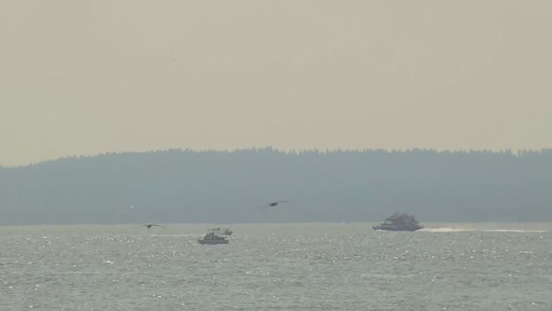
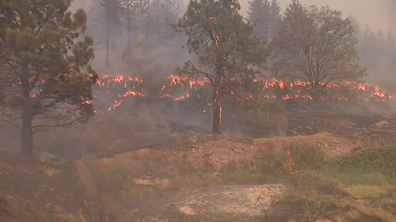
SEATTLE — Wildfires to the north and east are bringing smoke and hazy skies to the Puget Sound region, and windy conditions and hot weather are raising concerns of high fire danger this weekend.
Fires are burning in the North Cascades, British Columbia, Southwest Washington, and Eastern Washington.
Warm weather and smoke began to move in Friday. Poor air quality and hazy conditions worsened throughout the day on Saturday but are expected to improve heading into Monday.
The breeziest spots will be in the foothills and to the north, with increasingly breezy east and northeasterly wind, while most of the area will feel wind in the 10 to 20 mph range.
According to the Washington Smoke Information Blog, air quality across much of the Puget Sound region had moved into the “unhealthy” range as of 5:30 p.m. Saturday.
Those in sensitive groups are advised to limit their time outdoors. Healthy people may also develop symptoms over prolonged exposure to poor air quality as well.
Forecast temperatures were lowered a few degrees because of the increasingly hazy conditions limiting the amount of sun. Highs will be in the upper 80s. The record is 91 degrees in 2020.
An air quality alert is in effect for Asotin, Columbia, Garfield, Walla Walla and Whitman Counties from 8 p.m. Friday until Monday morning, and for King, Kitsap, Pierce, Snohomish, Island, Skagit, and Whatcom counties between 6 a.m. Saturday and 6 p.m. Sunday.
Find air quality information on the Washington Smoke Information Blog, Washington Air Monitoring Network, or Puget Sound Clean Air Agency.
Fire danger
Red flag warnings are in effect until Saturday night, meaning high fire danger over the area.
High Fire Danger Friday through the weekend. Be firewise. #wawx pic.twitter.com/Af8AH7NJcQ
— NWS Seattle (@NWSSeattle) September 8, 2022
The wind, along with dry conditions, could cause severe wildfire activity across the state, including west of the Cascades, according to the Washington State Department of Natural Resources.
“This weekend’s weather conditions hearken to the east wind event that contributed to the unpredictable fire behavior and rapid spread of the 2020 Labor Day weekend firestorm,” Commissioner of Public Lands Hilary Franz said. “Windy conditions amplify wildfire starts and make fighting those ignitions challenging.”
The wind on Friday afternoon and Saturday will likely bring the highest fire danger of the season for Western Washington, according to DNR.
The windy, dry conditions could escalate the growth of significant fires already burning on the east side of the state.
By Sunday, it will be in the 60s at the coast and lower 80s inland. Temps will fall even more on Monday and into next week, with temperatures back into the low to mid 70s.
Happy Friday! We're heating up today into the lower-80s with increasing hazy and breezy conditions. It'll be hotter tomorrow, but with more haze and smoke I lowered the high temps a couple of degrees. #NickKnows #wawx pic.twitter.com/qCBKrdpvMt
— Nick Allard (@NickAllardKIRO7) September 9, 2022
©2022 Cox Media Group


