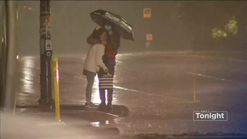
- Rain overnight, some urban flooding
- Breezes calming down overnight
- Showers, sunbreaks and isolated PM thunderstorms this weekend
Friday started off with light rain and temps in the 50s. The intensity of the rain grew late Friday but was heavier at the coast as the heaviest band of rainfall moved through and headed into the Cascades.
>>Download the KIRO 7 Weather App to track the storm live on your phone
Moderate rainfall is expected to continue overnight into Saturday morning.
Rainfall amounts have already totaled about an half-inch of rain around Seattle with more than 2.5″ at the coast at Forks. Going into tomorrow, another half-inch of rain can be expected. Some urban flooding continues to be possible through around daybreak but thereafter rain will become much more sporadic (although it could be heavy at times in downpours or thunderstorms.)
Showers and sunbreaks will be the rule as well as blustery cool winds this weekend, giving the weather a decidedly autumnal feel.
As an upper-level trough of low pressure moves through, cold air aloft will increase instability, bringing a chance of some passing downpours of heavy rain and small hail as well as the potential for lightning. The chances will be greatest for this at the warmest times of day – mid/late afternoon and early evening.
Saturday will likely be the wetter of the two weekend days and have a better chance of thunderstorms, though there will be some passing showers along with the sunbreaks on Sunday and a slight chance of late-day storms.
We’ll dry out early next week, with some rain again by next Wednesday.
More news from KIRO 7
- Michigan dad files $1M lawsuit after daughter’s hair cut by teacher
- King County to require proof of COVID vaccination or negative test for restaurants, events, gyms
- United Airlines experiencing system outage, reports say
- Do you have an investigative story tip? Send us an email at investigate@kiro7.com
©2021 Cox Media Group