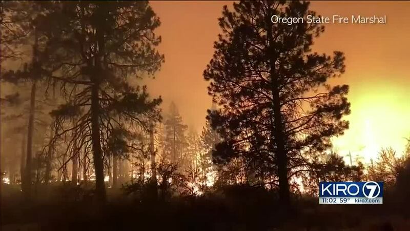
CHILOQUIN, Ore. — The two wildfires in southern Oregon doubled in size by Saturday morning, bringing widespread smoke across the southern half of the state.
The Bootleg Fire in Klamath County grew from 61 square miles (158 square kilometers) on Friday to almost 119 square miles (308 square kilometers) on Saturday in the Fremont-Winema National Forest and on private land.
The Jack Fire east of Roseburg was burning about 14 square miles (36 square kilometers). Forest service campgrounds were also under mandatory evacuations, including Apple Creek, Horseshoe Bend and Eagle Rock.
Officials issued new evacuation orders on Saturday afternoon. In Klamath County, north of the town of Beatty, a Level 3 evacuation order was issued for the Sycan Estates area and at the forest boundary at Ivory Pines Road. The Level 3 order calls for an immediate evacuation due to “imminent danger” due to the wildfire. People in the town of Sprague River should also leave immediately.
Oregon’s wildfire season began early this year due to a deepening drought and record-high early summer temperatures, the Statesman Journal reported.
Gov. Kate Brown in late June declared a state of emergency because of what she called the imminent threat of wildfire across the state and has declared emergency orders on both the Jack and Bootleg fires.
Smoke from the growing blazes moved to the north on Friday night, giving people on the edges of the Willamette Valley a view of the haze being produced by the two fires in southern Oregon.
However, northwest Oregon’s air quality is not expected to be impacted this weekend and it wouldn’t be until Monday that there might even be a chance of some haze, National Weather Service meteorologist John Bumgardner said.
It’s a different story in southern Oregon, where the air quality monitors have already dropped to “moderate” in the Klamath Falls area.
©2021 Cox Media Group


