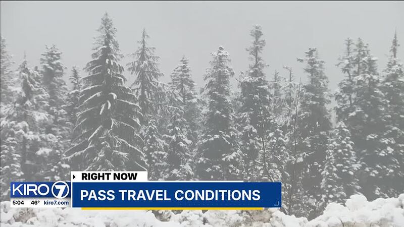
A reprieve from heavy snow on mountain passes in Washington allowed for a window of decent travel Friday, though forecasts suggest that window could quickly close.
Snow levels reported by the NWS stayed at 4,000 feet, just about the elevation of Stevens Pass and about 1,000 feet above the summit of Steven’s Pass.
That gave people the opportunity to traverse the mountains in the most favorable conditions seen in days in the Cascades.
“Road conditions were great,” said Danielle DeBray, who was driving to Snoqualmie Pass. “I was really surprised that it was as light as it was. There are people on the road, but it was easy to do.”
The remnants of the days of mountain snow this week remained on the side streets off of I-90, but the freeway itself remained wet.
Rain was mostly the issue at Snoqualmie Pass, and as the NWS expects snow levels to drop to 3,500 feet Saturday, the window for decent travel conditions is closing.
“We’re looking ahead to a new possible storm or something similar storm like conditions anyway, brewing potentially as soon as this coming Sunday,” said Scott Klepach, a spokesperson for the Washington Department of Transportation.
On Sunday and through the start of the week, a strong system will move in, dropping snow levels to 2,500 feet, according to the NWS. Klepach suggests people consider how badly they will need to trek across the mountains during those days.
“If you’re not sure, stay home, delay your trip if possible.” Klebach said, “I know it’s not the most popular thing to say, but really, it can help clear up the road,”
He says travelers should make sure they have proper tires, chains, and the knowledge to put the chains on.
“We can’t stop the rain. We can’t stop the snow, but we can try our best to make sure that the roads are as clear as possible. You know, drivers and travelers can help us with that as well by really paying attention.”
©2024 Cox Media Group


