CHELAN, Wash. — A map of fires in Chelan County going back to 1900 shows fire activity greatly increased after the 1970s.
While small areas of land burned between 1900 and 1970, a much larger area burned between 1970 and 2000. Since 2000, even larger pieces of land have been on fire.
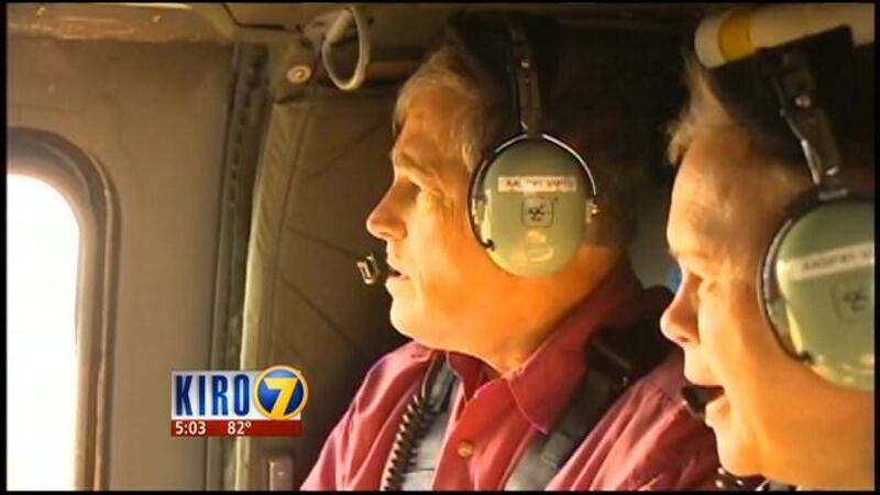
Gov. Jay Inslee toured the Chelan and Okanogan complex fires on Thursday. He said scientists have indicated there will be increasingly large, intense fires as the climate changes.
“I hope our state is going to do everything we can to boost our infrastructure over the long term and the decades to come. I’m also hoping our state will move to attack climate change at its source, which is carbon pollution,” Inslee said.
He said he has recently met with the Association of Washington Businesses to discuss this issue.
Map of Chelan County Fire History 1900-2014
Residents, who have witnessed last year’s Carlton Complex Fire, and now the Chelan and Okanogan fires, said they are growing weary of battling flames each summer.
Jake Kneisley, who evacuated from the First Creek Fire, said, “It’s scary. I’m getting sick of it.”
Kneisley said he loves the area and wouldn’t move, as long as his home is standing there.
As for the growing intensity of fires in the region, “I don’t know what to think. Maybe it’s climate change,” he said.
Firefighters in the field told KIRO 7 no matter what the case may be, they would be willing to return.
“If they want me, I’ll absolutely be here,” said Casey Stockwell, a sergeant with the National Guard.
Inslee said the state can be better prepared by training more people to work fire lines, and to fly through smoky conditions, for example.
But he said better infrastructure and preparation is only a marginal improvement, because “as long as there’s lightning and wind, we’re going to be in for it.”
KIRO


