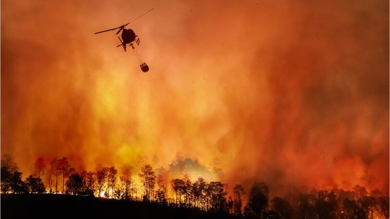
SEVIER COUNTY, Tenn. — A wildfire that began Wednesday morning in Sevier County, Tennessee, continued to burn early Thursday, prompting evacuations near popular Smoky Mountains National Park tourist destinations, officials said.
Fire and smoke in Wears Valley/Shagbark areas. pic.twitter.com/K0TmMepLCb
— Sevier County EMA (@EmaSevier) March 30, 2022
According to WBIR and WVLT, the Sevier County Emergency Management Agency said Wednesday night that the blaze, dubbed the Hatcher Mountain Road/Indigo Lane Fire, had reached 1,000 acres. The fire has injured at least one person and affected 35 structures, the news outlets reported.
As of 8:30 p.m., the Hatcher Mountain Road/Indigo Lane Fire was approximately 1,000 acres in size and had affected 35 structures.
— Sevier County EMA (@EmaSevier) March 31, 2022
The blaze remained at “0% containment” as of 9 p.m. Wednesday, the Tennessee Department of Agriculture said in a tweet.
🔥 Hatcher Mountain Road/Indigo Lane Fire - Wears Valley (Sevier County) 🔥
— TN Dept. of Ag (@TNAgriculture) March 31, 2022
‼️UPDATE AS OF 9 PM ET‼️
🔺1,000 acres affected
🔺0% containment at this time@EmaSevier
Early Thursday, authorities issued evacuation orders for Wears Valley and Walden’s Creek, WBIR reported. Gatlinburg also issued and later “lifted its mandatory evacuation in the Ownby Hills and Hidden Hills subdivisions” after “a downed power line ignited a 1.5-acre brush fire,” the city’s government said in a Facebook post.
“Those who were evacuated from these areas during the event are free to return to their residences or rental units,” read the post shared shortly after 4:30 a.m.
Three shelters, including the Sevierville Convention Center, the Pigeon Forge Community Center and Seymour Heights Christian Church in Seymour remained open as of 8 a.m., according to a map maintained by emergency management officials.
The link below is for a dynamic map of the updated fire evacuation area. This area has increased from the last map. After clicking on the link, users can type their address into the window to see if they are within the evacuation area.https://t.co/GSi7pNV5L2
— Sevier County EMA (@EmaSevier) March 31, 2022
©2022 Cox Media Group


